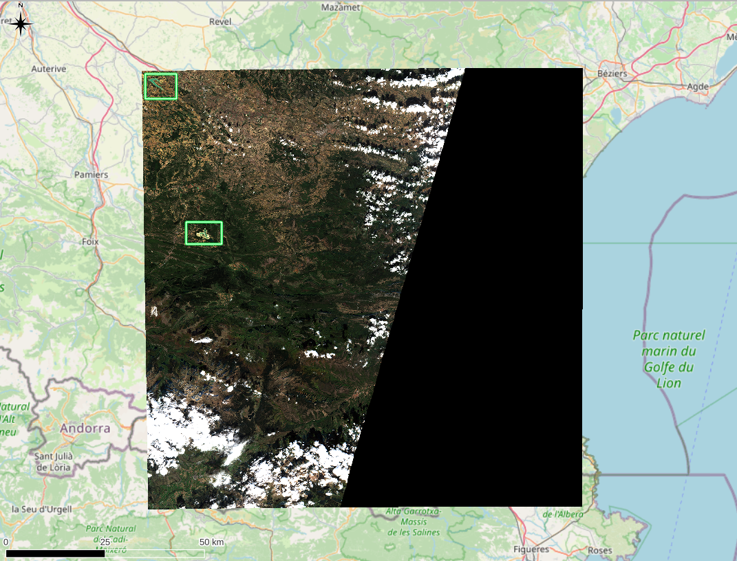
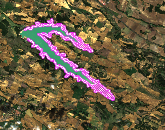
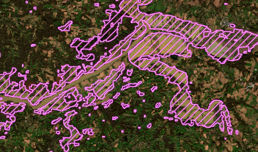
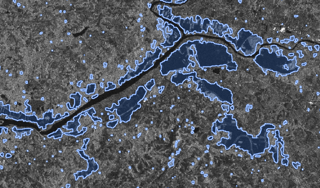

Change Detection API
LTU offers a SaaS comparison and change detection solution that is highly configurable to operate tailored processing based on your use case.
Whether you need to set up a level sensitivity to changes, or ignore a background or a reflection, etc. you can adjust the pre and post processing parameters according to your need.
This computer vision solution works without Deep Learning which allows immediate operability, and easy integration into third-party technological environments and applications.
Advanced expertise

Unique comparison process
The algorithm is based on the analysis of color variation of all the pixels of an image compared to the other.
This process allows us to be immediately operable to offer registration and resizing, to superimpose images despite potential angles variations, distances, rotation or translation, etc. This pre-processing enables quick detection of differences between 2 input images and to be robust in case of mobile captures.
Next-level ease of integration

Open API
The technology is available from an open change detection API that will call the appropriate 2D and 3D comparison features. The solution is configurable to perform a visual processing specific to your needs.
Change Detection API without Deep Learning
The technology doesn’t require any dataset, so no DL model learning based on client data. The algorithm focuses on the distance between 2 pixels (and the neighboring pixels), to do so it applies a pre-processing of registration and resize in order to analyze the variation of colors between 2 images at comparable scales.

A complete documentation
It contains all the necessary elements for an easy integration via an JSON/REST API. This documentation is in english.

A dedicated support
A team of image processing experts and technical support will help you set up your image and object comparison and change detection API.
Diversity of use cases

Optical and radar satellite imagery
LTU algorithms works with Geographic Information Software (GIS) solution editors, local authorities and governmental institutions that may need to use aerial or spatial images to improve heritage management and territorial preservation or to monitor large areas.
Change detection based on aerial and satellite images allows the quick analysis of rapid or slow evolutions having an impact on the environment. Urban planning management, agriculture, environment, civil protection, insurance and defense are targeted sectors for this solution.

Quality and integrity control in mobility
Change detection is also made available to industrial entities in order to offer a solution for industrial quality control and maintenance. Our solution can detect missing, damaged or added elements between a reference image and a request image.
It can be embedded in all types of devices to adapt to the different configurations of our customers, and thus operate an integrity control on objects of all sizes, from electronic cards to large structures.

Need Visual Search also ?
LTU delivers an integrated SaaS solution, open and configurable for visual search.
This SaaS solution gives you access to our multiple proprietary algorithms, and can also integrate third-party algorithms to perform a visual search specifically tailored to your needs.