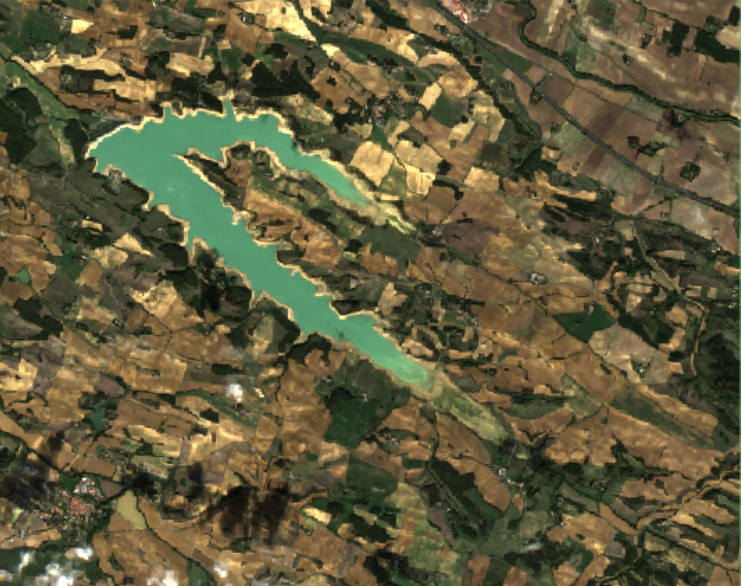
Lac de la Ganguise in 2022: between May and October 2022, the Lac de la Ganguise in the AUDE region of france was affected by a sever drought.
Analyse area
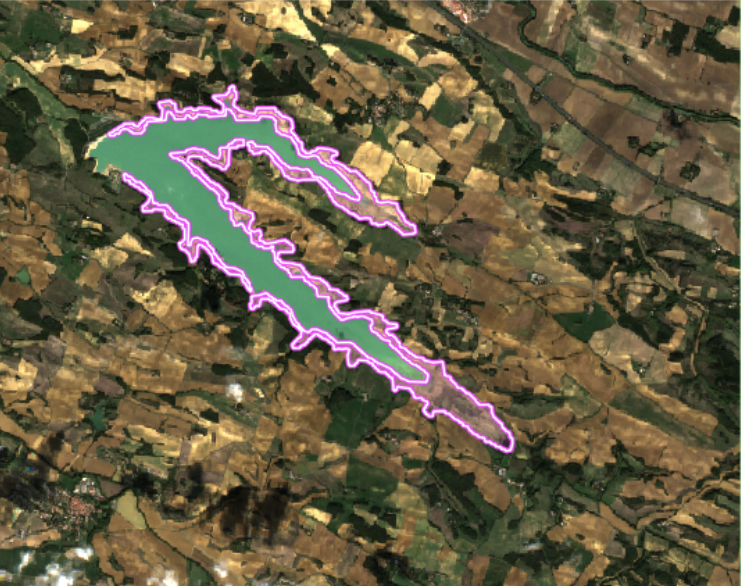
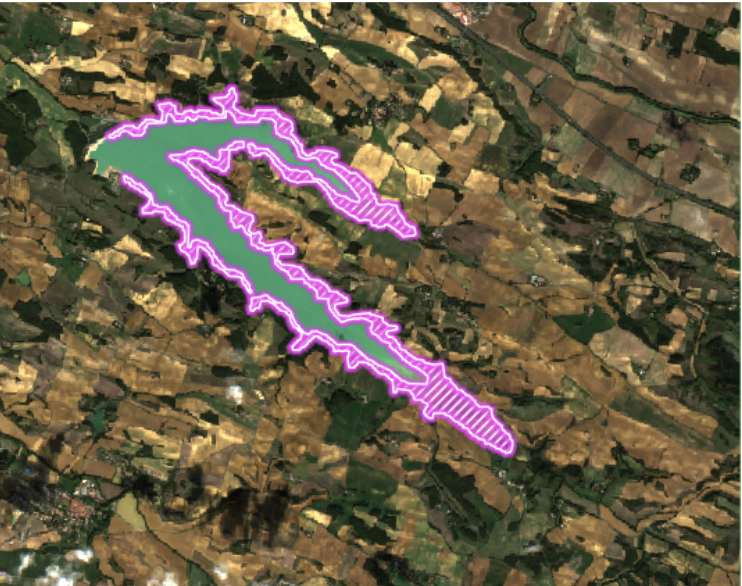
Optical satellites are particularly well-suited to observing changes in vegetation or water levels. LTU algorithms instantly assess disaster-affected areas by diverting them without supervised learning. Change detection using satellite imagery can also be used to monitor and assess the quantity or quality of water in lakes and rivers. Here, change detection is performed on the basis of a water index (NDWI).
May 2022, "normal condition"
Earthchange benefits
Change detection using satellite imagery is a very useful technique for the environment, as it provides accurate, up-to-date information on the evolution of the land surface or a water surface, which can aid decision-making and environmental management planning